Originally a rail network
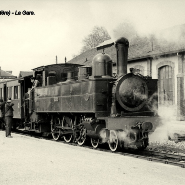
Over the last decade, Brittany has seen the emergence of a number of Greenways built on former railway lines. From Carhaix, the hub of this network, the Breton Railway Network was a real mesh of connections, serving Central Brittany from the end of the 19th century until 1967.
The town’s central position, already attested to by the creation of Roman roads from the ancient city of Vorgium, would therefore be confirmed some 20 centuries later.
Today, this network has been given a new lease of life, making Poher a crossroads for Greenways in western Brittany.
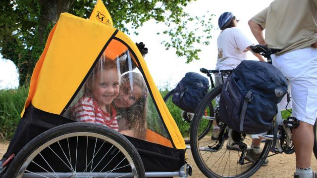
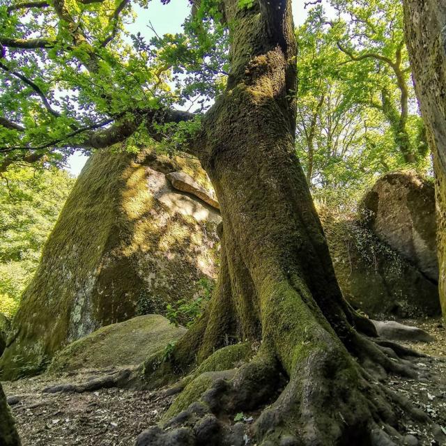
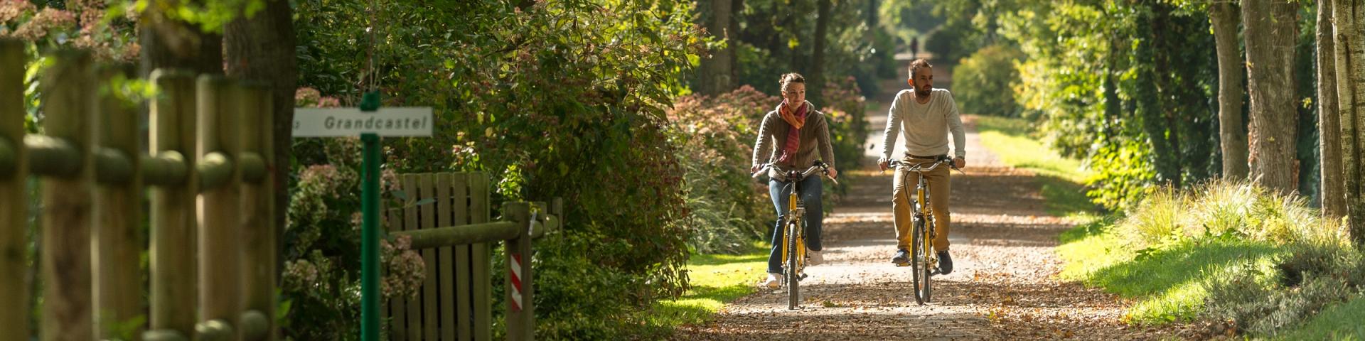
By making their way along these shady paths, cycle tourists can discover engineering structures that bear witness to the golden age of the railways: bridges, stops or stations that have been converted into stopover lodges or interpretation centres such as the Guiscriff Station Museum.
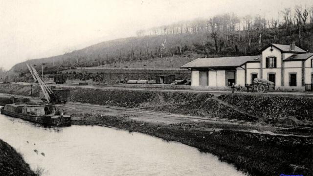
In Gouarec, a section of these lines has been preserved, offering visitors the chance to ride a vélorail or tourist train through the heart of nature.
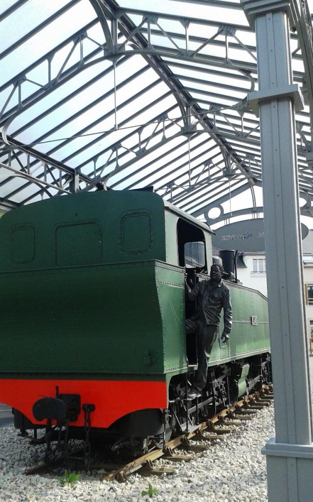 La Locomotive Mallet et la statue du cheminot, Place de la Gare à Carhaix
 Carte du schéma des Voies Vertes en Bretagne
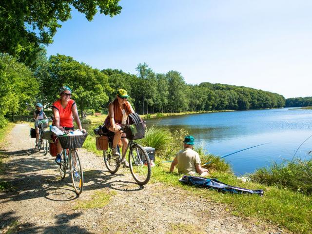
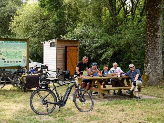 Pause pique-nique pour des cyclotouristes à l'aire de repos de Pont Daoulas, le long du Canal de Nantes à Brest à Carhaix